
Peace of Mind
Enjoy Peace of Mind knowing that when you work with us we will use our knowledge and expertise to create a mission for your project. We will plan the mission including airspace checks and finding the most reliable and professional pilot to fly your mission.
How are we Better?
With DroneMission we give you a professional who will do the work to find the best solution for your mission. We do not use automation to find you just another person with a drone, we verify and vet all of our vendors and professionals before allowing them to work with us.
How it Works
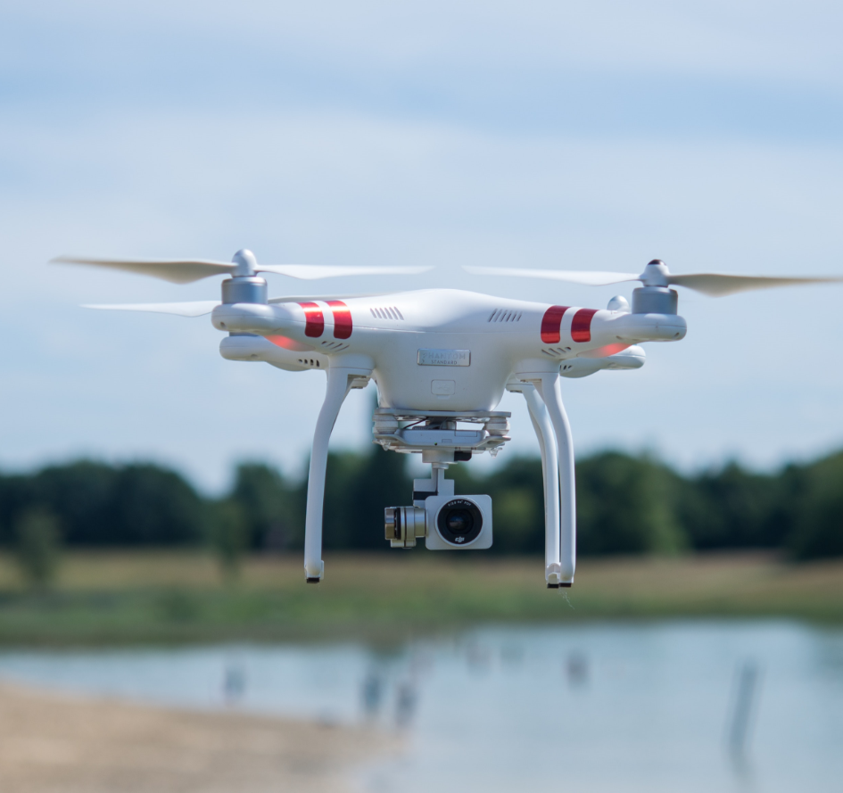
Drones equipped with high-quality cameras are used for capturing stunning aerial images and videos for residential real estate
Drones equipped with high-quality cameras are used for capturing stunning aerial images and videos for commercial real estate, and tourism.
Drones can be employed for land surveying and mapping. They are equipped with sensors and cameras that can create detailed maps and 3D models of landscapes, construction sites, and more.
Drones help farmers monitor crop health, assess field conditions, and optimize resource usage by providing aerial views and data on crop health, irrigation, and pest control.
Our professional will plan your mission using our proprietary software.
We are building a nation-wide database of the best Remote Pilots in Command to provide national services to our Best-in-Class Clients.
Contact Us Today!Request a project via Phone or Online Portal using our proprietary web application.
We will check all Federal, State and Local regulations as well as Federal Airspace limitations for you.
If a flight is possible we will use our nation-wide database to find the perfect RPIC for your mission.
Fill this form and we will reach out to you as soon as possible.
